Huarahi Tūhono - Weber to Wimbledon
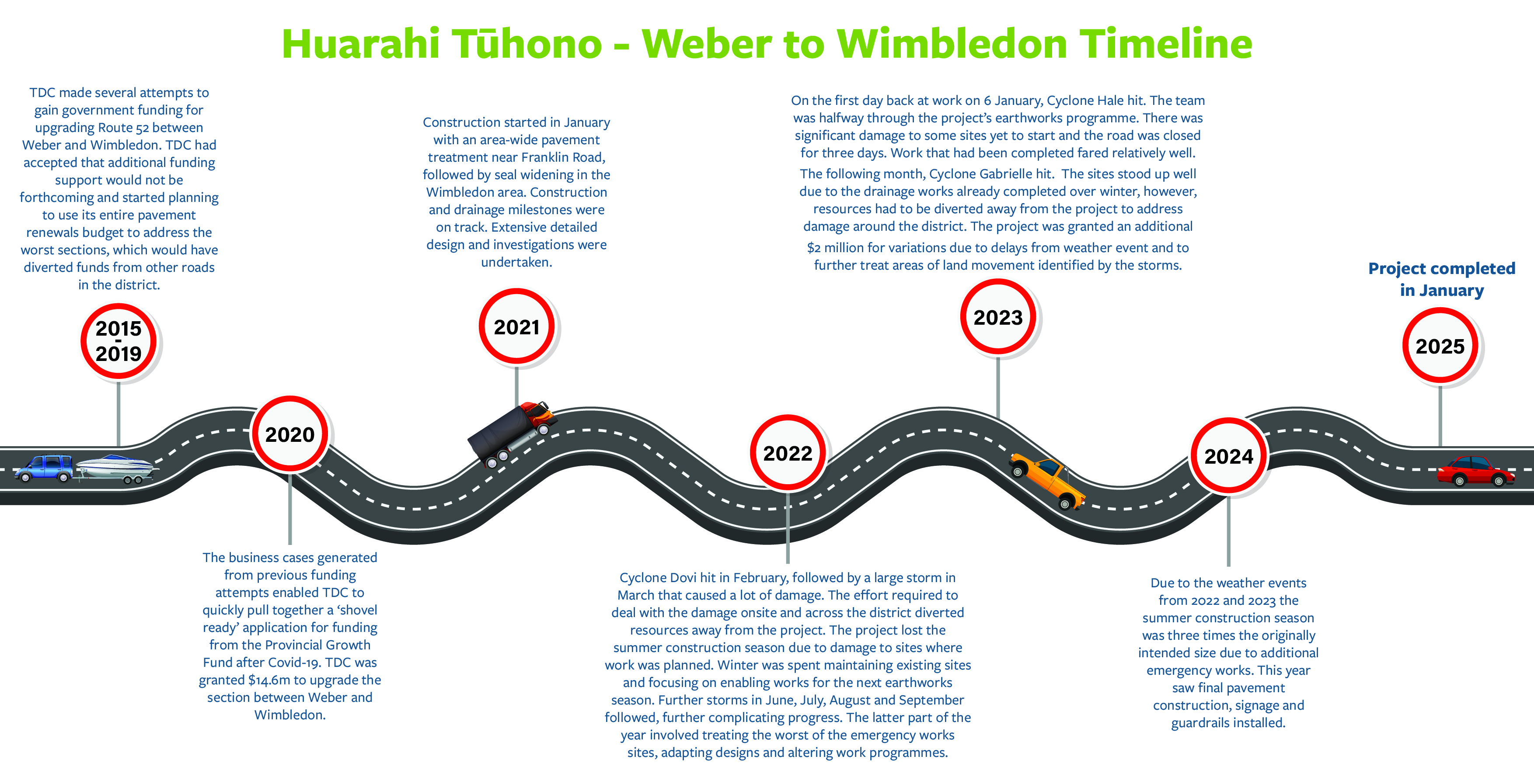
Four years after starting as a ‘shovel ready’ project after Covid-19, ‘Huarahi Tūhono - Weber to Wimbledon’ – the Route 52 Upgrade is complete.
In 2020 Tararua District Council was granted $14.6 million from the Provincial Growth Fund to assist with maintaining employment within the district.
Tararua District Council maintains about 150km of Route 52, which starts at the Tararua District’s northern boundary and ends near Masterton. The other sections of the route are maintained by Central Hawke’s Bay District Council and Masterton District Council.
The funding granted was for upgrading a 26km section of the route deemed most in need of safety and resilience improvements, between Weber to Wimbledon and the Central Hawke’s Bay district boundary.
Route 52 is a key connection between Tararua and neighbouring districts as well as a key route for farming and forestry sectors, and a lifeline connection for communities of Herbertville, Akitio, Pongaroa and Alfredton.
The road was subjected to multiple storms during construction, including Cyclone Gabrielle, resulting in a larger programme and an additional $2 million to cover the impact of delays caused by the disruption from weather events.
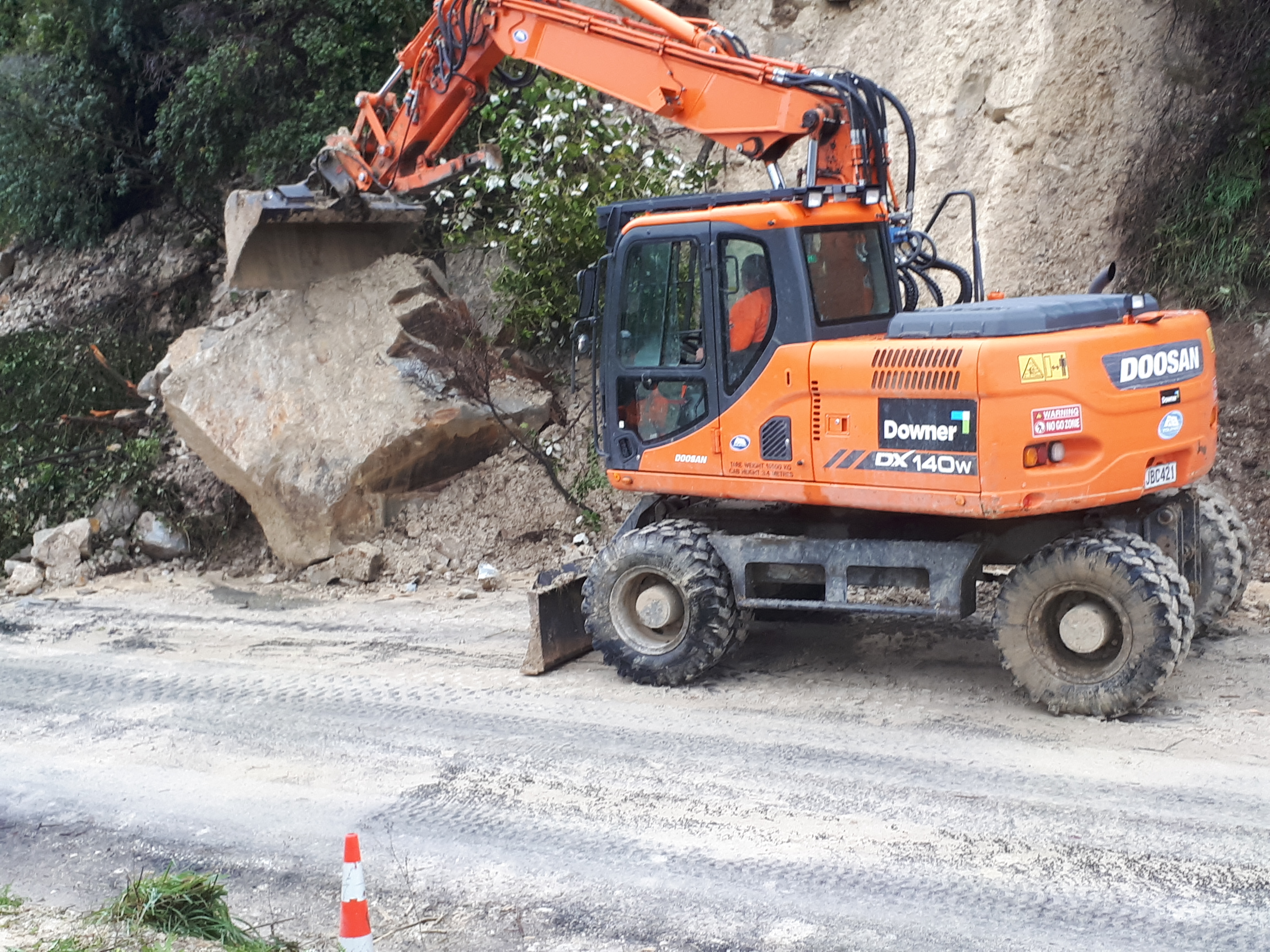
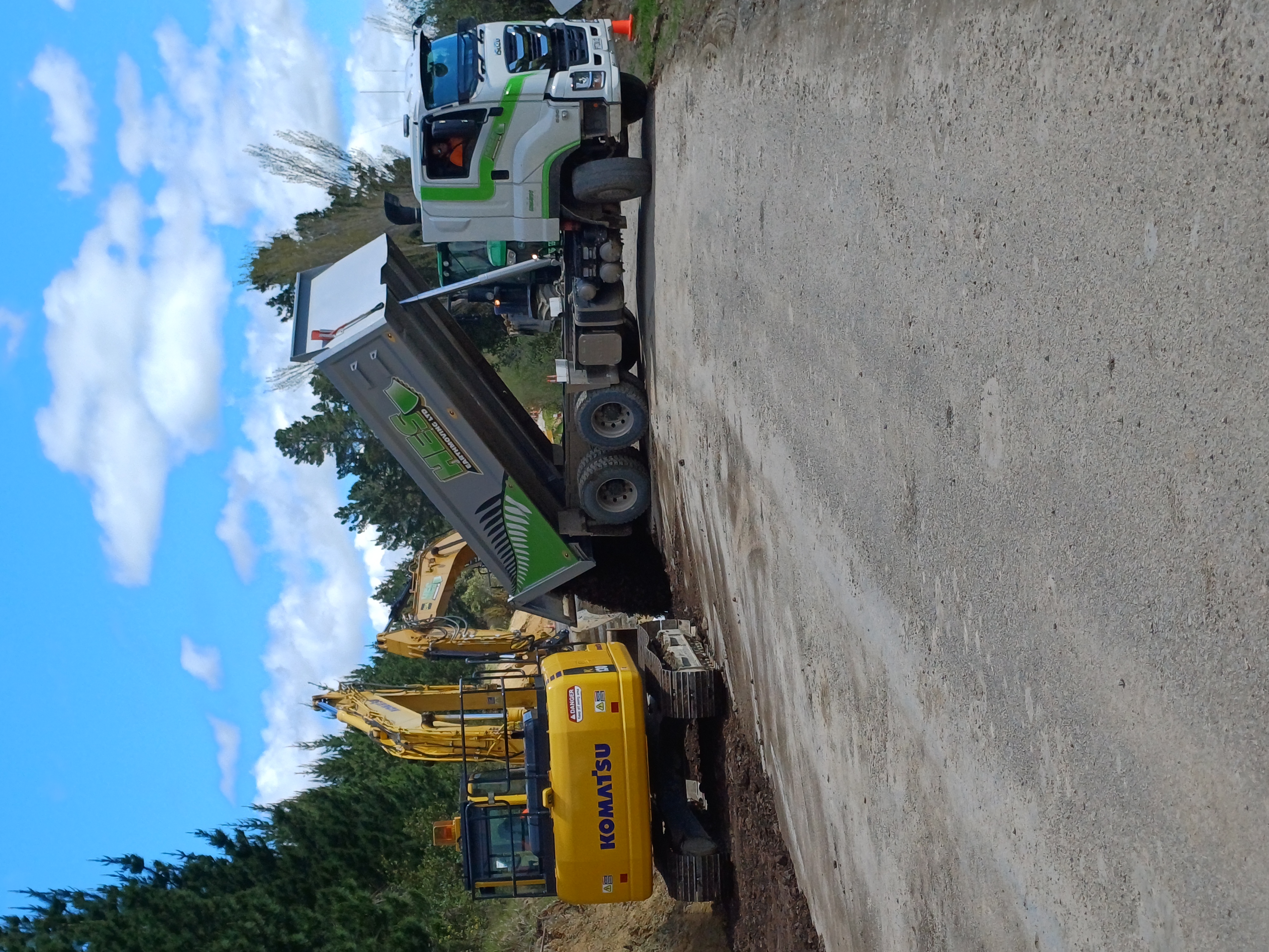
The upgrade was delivered by Council’s roading team, the Tararua Alliance – a partnership between Tararua District Council and Downer – and primary subcontractors Alabaster Contracting and HES Earthmoving.
The project was named ‘Huarahi Tūhono - Weber to Wimbledon’ during a workshop between Council and representatives from iwi and the local community. Huarahi means ‘road or pathway’ and Tūhono means ‘to connect: ‘The road that connects Weber to Wimbledon.’ Route 52 – formerly State Highway 52 – dates back to 1859 and is a New Zealand Cycle Trail.
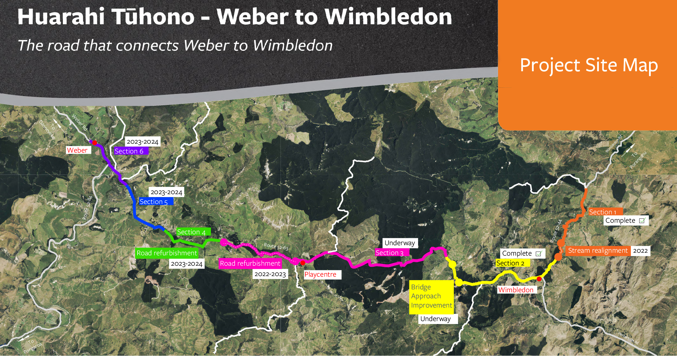
The Huarahi Tūhono - Weber to Wimbledon - Project Site Map
Project Outcomes
- All bridges received detailed engineering assessments, which determined that they were capable of supporting HPMV traffic. This allowed around $600,000 to be reinvested back into the physical objectives.
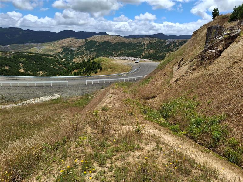
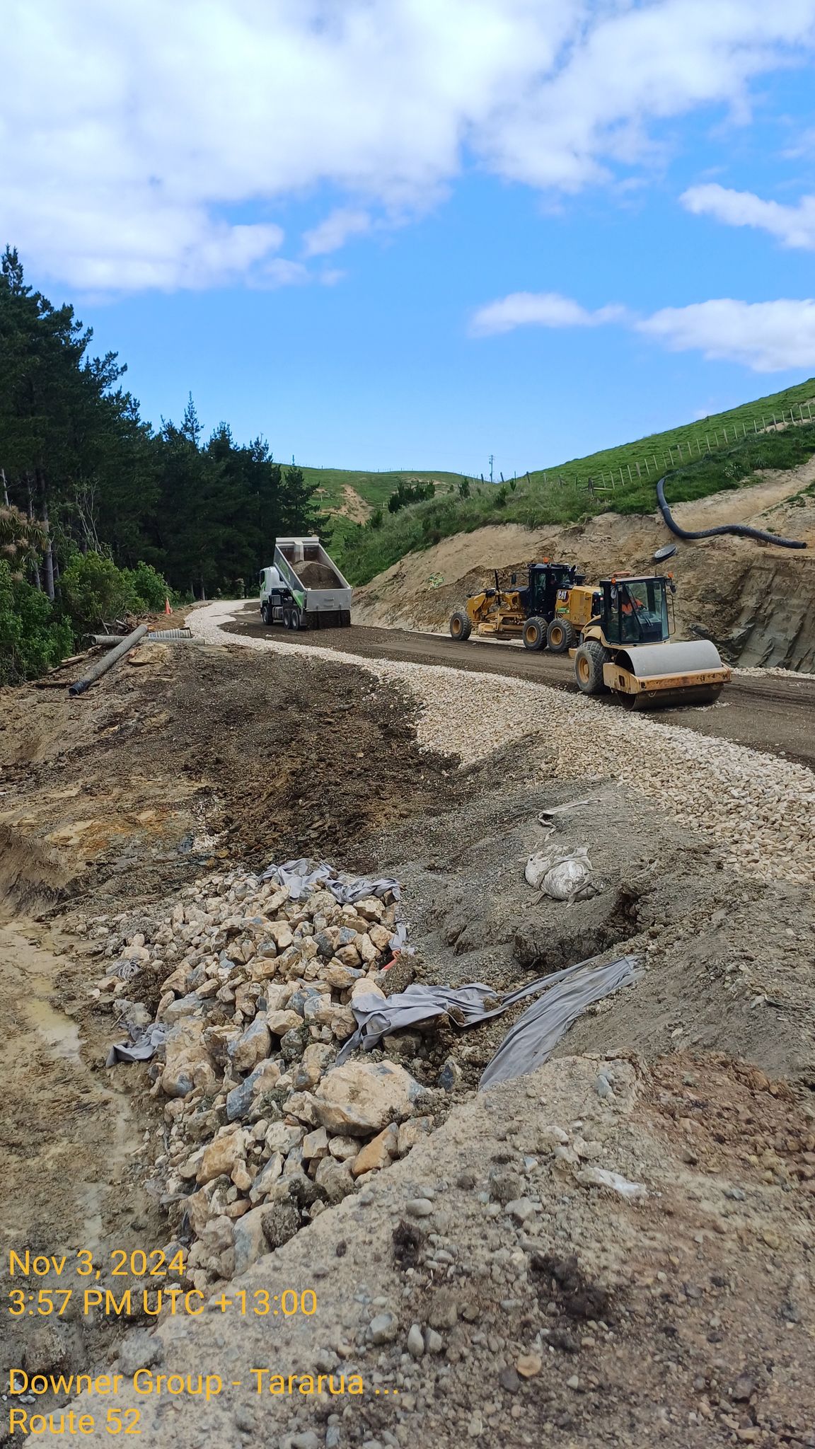
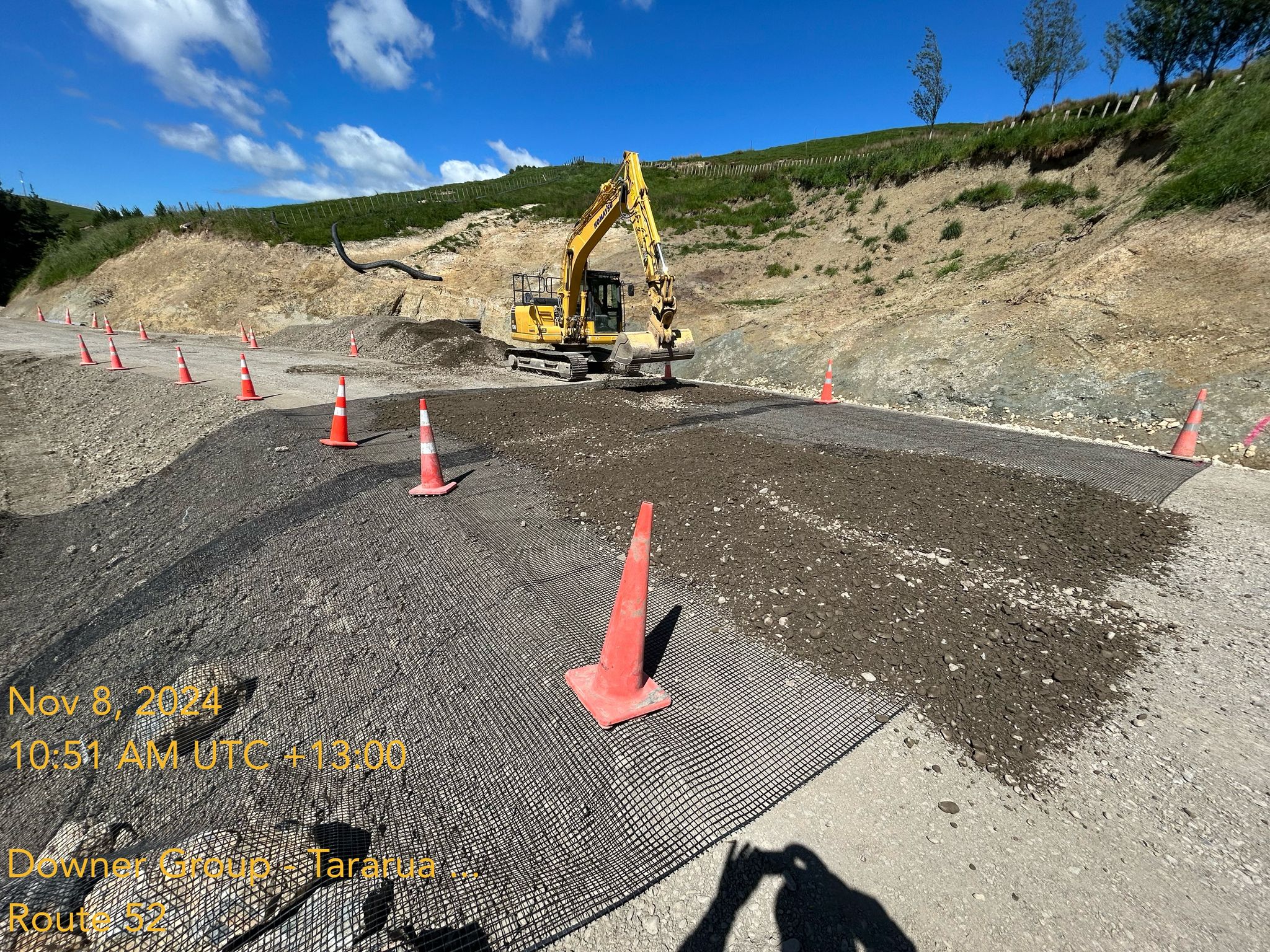
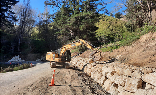
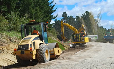
- The project has seen significant investment in stabilisation of the road’s formation, with around 6km of pavement retreated onto more stable ground. The resilience of the works was tested with 10 storms impacting the site throughout the course of the project (largely in 2022 and 2023) including three cyclones, one being Cyclone Gabrille.
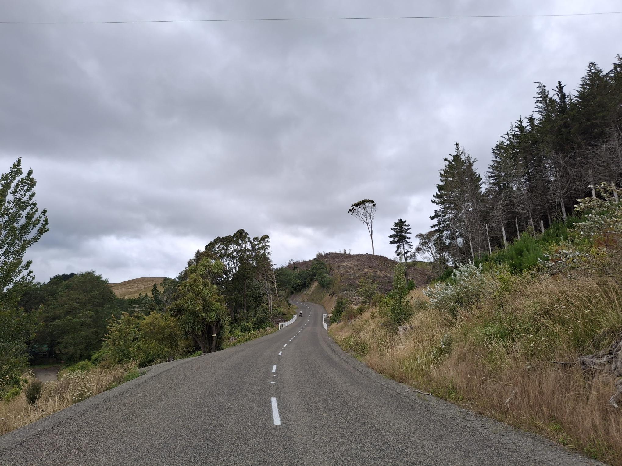
- High-risk narrow and blind corners have been widened to an average of 7.5m carriageway width across the 26km site, this compares to the initial average of 6.2m, with 13.2km going from an average of 5.69m to 7.5m. For comparison, the minimum safe design width for 2x trucks to pass is 7m (3m lane width and 1m safety margin along the centreline.)
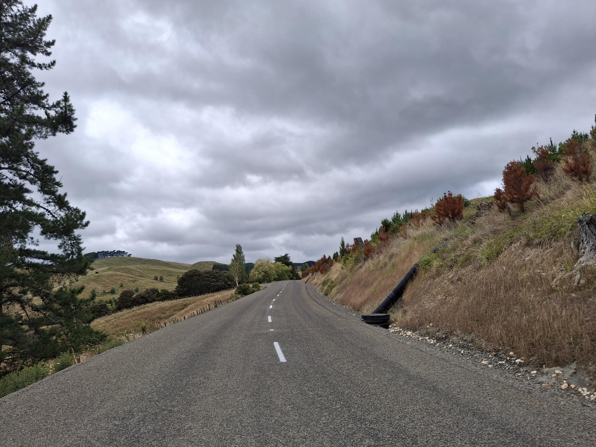
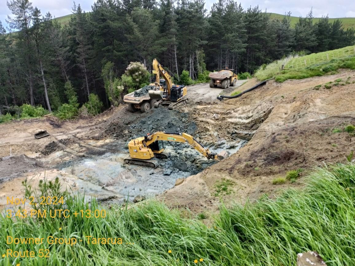
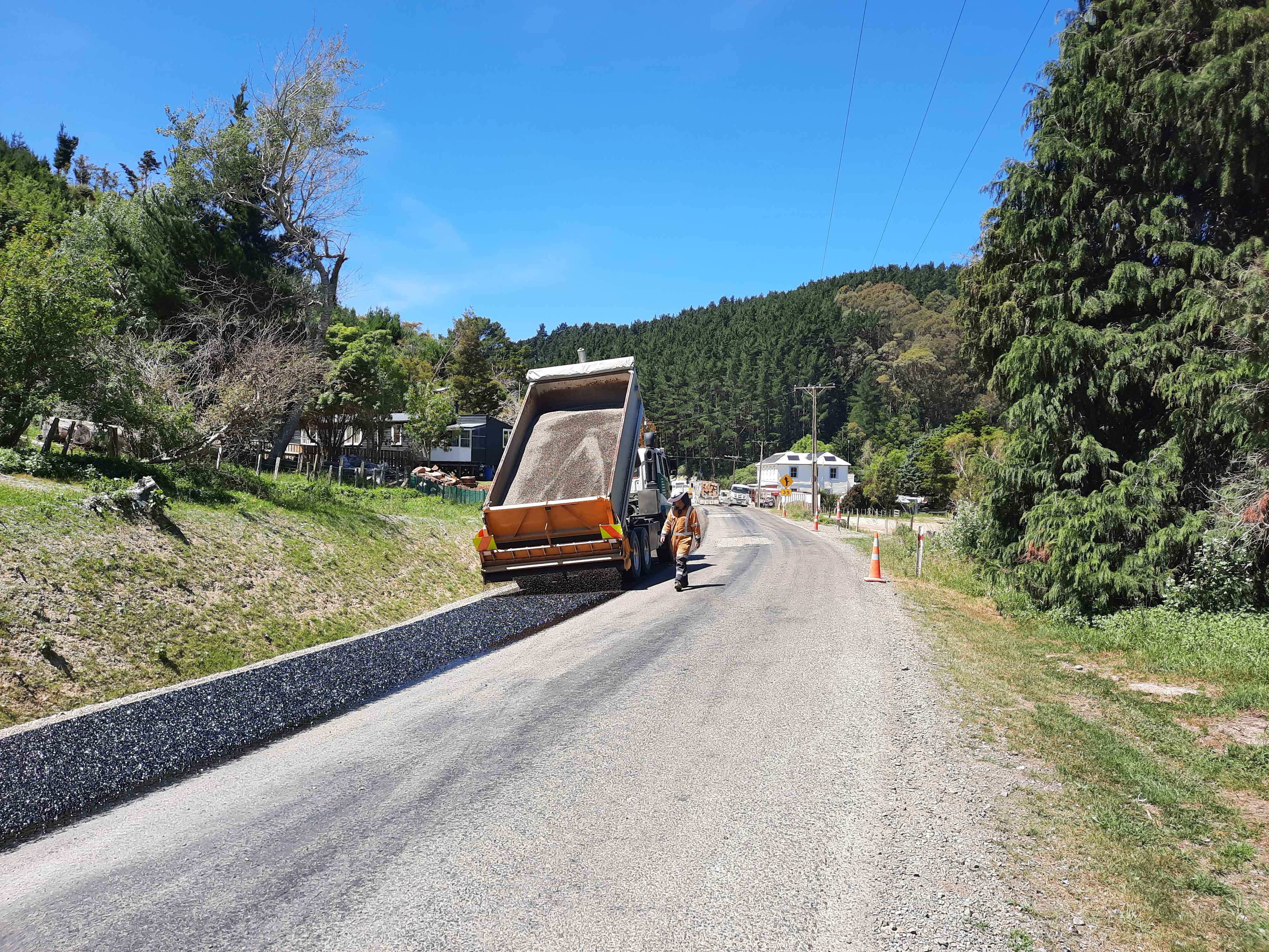
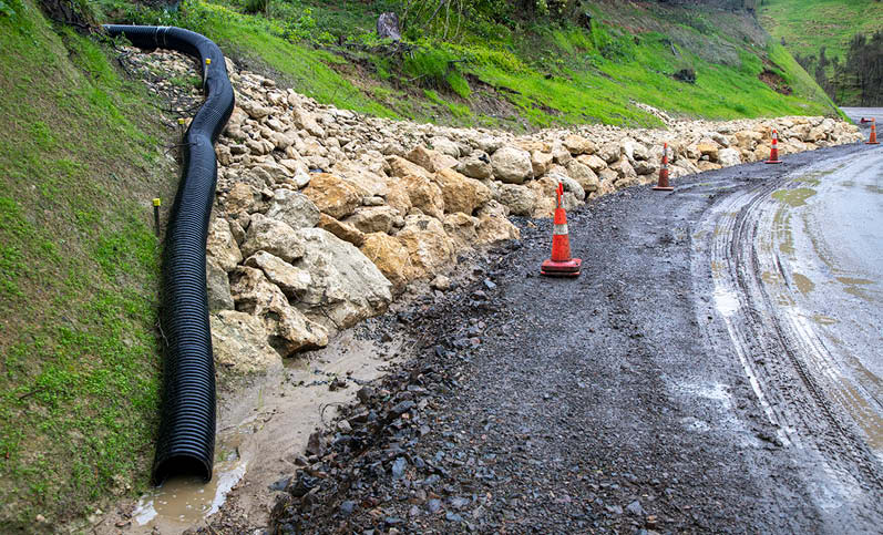
- Drainage works were a significant part of the project. Cyclone Gabrielle put the site to a significant test after much of the drainage work had been completed. The cyclone resulted in superficial damage - largely slips from the slopes well above the road formation - and the carriageway itself received no major damage. The road was navigable the day after the cyclone, compared to previous storm events which could close the road for multiple days at a time.
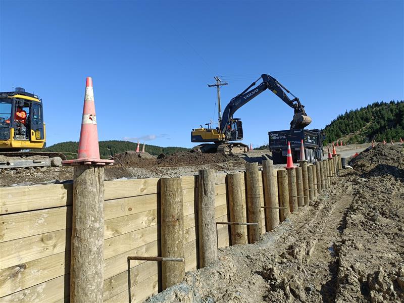
- The safety of the road has been greatly improved, by the removal of blind corners and widening, as well as the installation of guardrail and signage.
- This section of Route 52 now provides a consistent journey between Dannevirke and the Central Hawke’s Bay and can now be maintained in line with the rest of the network.
- The project supported the district’s recovery from Covid-19 by engaging local staff and contractors with the fulltime equivalent work of 230 people working on the project of which 91% were local staff.
- The project has improved the environment for future generations. The resilience work has stabilised the road’s formation and reduced the likelihood of ongoing issues of the scale seen before on the route.
- The project enables the district to maximise the economic and tourism opportunities of the area.