Cyclone Gabrielle
This page contains information on the effects of Cyclone Gabrielle in the Tararua District.
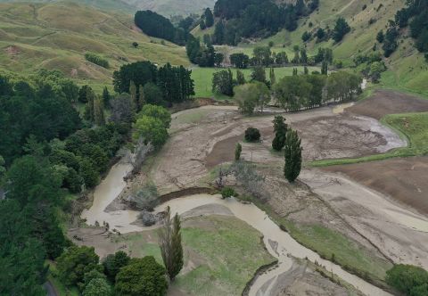
Cyclone Gabrielle was a significant weather event impacting northern, eastern and central New Zealand. The Tararua District Council declared a state of emergency at 0849 14/02/2023, and a National State of Emergency was declared shortly thereafter.
This event had many significant impacts for the Tararua District,, some of them record breaking:
- Ākitio at Toi Flat – Rainfall intensities exceeded a 1 in 50-year event over a 24-hour period, recording 223mm of rain.
- Ākitio at Cadmus Bridge – Rainfall intensities exceeded a 1 in 20-year event over a 72hour period, recording 328mm of rain
- Tamaki Reserve – Rainfall intensities exceed a 1 in 20-year event over a 24-hour period, recording 154.5mm of rain
- 2 of our river catchments recorded higher levels than the major 2004 flood event.
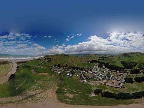
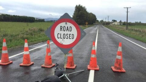
There was extensive damage to a much of the roading network in the Eastern Tararua, with restricted or no access to Ākitio, Herbertville, and other surrounding rural areas for multiple days.
Tararua has the 4th largest local roading network by district in New Zealand and immediately after the cyclone, 49 roads were closed with a further 14 open with restrictions. 1 bridge was washed away and a further 6 bridges sustained damage.
In the immediate aftermath the district faced 3 red stickered buildings, and 16 yellow stickered buildings.
Rural communities and farming businesses were hugely affected with farms reporting slips, infrastructure damage and stock loss. On 3 March 2023, the Tararua District came out of the National State of Emergency and local response and recovery efforts continued in earnest.