
Manawatū District Council Key Projects Map
The Key Projects Map gives a district-wide view of the main projects Manawatū District Council is delivering across our communities. It brings together recent, current and planned work, from roads, water and other essential infrastructure through to parks, community facilities and local improvements. The map is based on the Long-term Plan and designed to see what is happening, where it is happening and what stage each project is at.
Click the image below to view the interactive Manawatū District Council Key Projects Map.
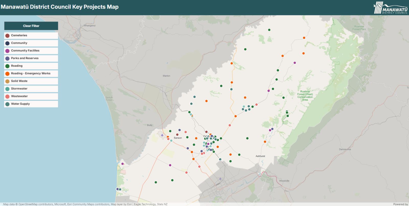
Use the map to explore projects across the Manawatū District:
- Zoom in and out or move around the map to explore different parts of the district.
- Select a project marker (coloured dot) to see a short description and key information about the project.
- Use the filters to narrow the map by project type. You can select multiple layers or use the clear filter button to reset the map filters.
Projects are displayed using different colours and icons to help distinguish the types of work being delivered. The map provides high-level project information. Due to the large number of emergency roading works being carried out across the district, these projects have been grouped into geographic areas rather than shown as individual work locations.
Our programme of work changes over time as projects progress and Annual Plans and Long-term Plans are updated, so the information shown on the map will be updated yearly after we have completed our Annual Plan.